Decipher the Earth from Above
Our AI algorithms process your satellite images to identify key features and patterns with unprecedented accuracy.
Try It NowHow It Works
Upload
Securely upload your satellite imagery for processing and analysis.
Analyze
Our AI-powered engine processes and classifies geographical features.
Discover
Receive detailed insights and classifications of geographical features.
AI Image Analysis Tool
Note: This is a free hosted service and may take up to 90 seconds to load initially.
or click to browse files
Detailed Analysis
Upload an image to get a comprehensive analysis of the geographical features.
Example Analyses

The analysis reveals a distinct coastline with sandy beaches, shallow waters, and coastal vegetation. The AI indicates active sedimentary processes like erosion and deposition along the shoreline.
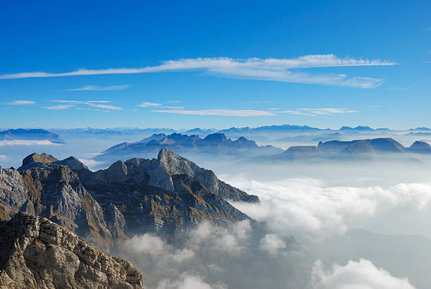
Deep analysis reveals rugged mountainous terrain with extracted peaks, deep valleys, and varied geological formations, suggesting ancient tectonic activity.
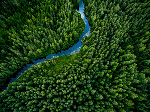
Identifies a dense forested area characterized by a healthy canopy and a river system, indicating rich biodiversity and stable ecosystem.